Slope and surface flow
Grading and Drainage Correction Help in Augusta
A 6-inch drop across the 10 feet nearest a foundation wall is the surface-drainage reference in International Residential Code Section R401.3. Georgia’s 2024 code cycle took effect January 1, 2026, with state amendments; existing properties still need measured constraints and local confirmation.
Editorial review: July 19, 2026. Cost figures and local guidance were rechecked on that date.
Augusta Yard Drainage Help is an independent educational service that helps connect homeowners with local outdoor drainage providers. It does not perform drainage or contractor work directly. Requests may be shared with a local outdoor drainage provider when a fit is available.
Quick answer
Grading fits broad sheet flow, reverse slope, and shallow surface pockets. Measure existing elevations first, design one continuous path, and preserve clearances at walls, doors, walks, trees, and utilities. A swale must descend to a responsible outlet and remain stable after the soil settles.
Measure a connected elevation profile
Record the building edge, thresholds, walks, patio corners, high ground, low ground, property edges, and the proposed destination. Use a laser level, builder’s level, or survey data rather than eyesight alone. The proposed profile should show continuous fall through every transition and enough room for surface stabilization.
Use the model-code benchmark with local confirmation
The model-code benchmark calls for 6 inches of fall across the first 10 feet from foundation walls, with alternatives where lot lines or physical barriers restrict the distance. Georgia DCA reports that the state’s mandatory 2024 construction codes and amendments took effect January 1, 2026. Confirm Augusta’s applicable amendment, permit, and existing-site requirements before treating that reference as a finished design.
Sources: ICC 2024 International Residential Code Chapter 4 · Georgia DCA 2024 code-cycle adoption
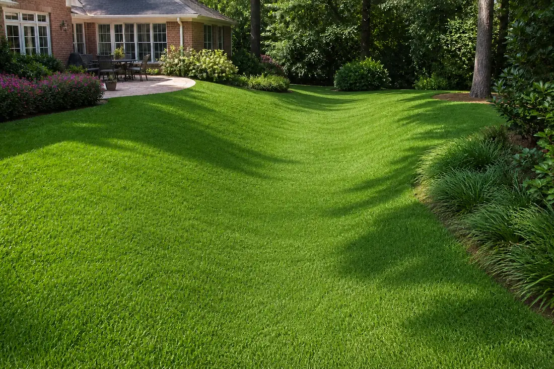
Shape a swale as a shallow falling ribbon
Lay out the center low line from the receiving area to the outlet. Remove isolated humps, blend broad side transitions into the lawn, and keep the route mowable or plantable. Check crossings at walks, drives, roots, and fences. Stabilize the surface promptly so bare soil does not erode into the low line.
- Stake the inlet area, center low line, and outlet
- Check fall at every change in direction
- Cut high points and place compatible fill where elevation must rise
- Blend side slopes gradually into untouched grade
- Protect the outlet and establish vegetation or another stable surface
Compact clay-side and sandy-side fills differently
Clay-rich fill can smear or seal when worked wet, then hold runoff in a new pocket. Sandy fill drains more freely until over-compaction, mixed fines, hardpan, or a buried clay lens interrupts it. Place compatible material in controlled layers, avoid working saturated soil, and verify the final surface after settlement. Augusta’s fall-line setting makes an onsite soil profile more useful than a citywide assumption.
Sources: New Georgia Encyclopedia fall-line soils · USGS Augusta-area interbedded sediments
Protect clearances and avoid creating the next bowl
Added soil should not bury siding, vents, door thresholds, weep paths, tree root flares, or drainage openings. Follow the proposed flow beyond the corrected spot. A raised low point can send water toward a patio, property edge, or another flat area unless the full route reaches a stable destination.
Handle excavation and discharge before earthwork
When mechanized work will cut or move soil, Georgia’s utility-protection rules require notice. File through Georgia 811 at least three business days before excavation, check the responses, and locate private facilities separately. Confirm with Augusta before directing a new grading outlet into a public inlet, ditch, or right-of-way.
Sources: Georgia excavation-law summary · Georgia 811 process · Augusta Engineering stormwater program
Keep subsurface collection in its own lane
Surface reshaping addresses water traveling over the yard. A narrow band that stays wet after the corrected surface route drains may justify a separate subsurface evaluation. Preserve that distinction so a swale does not get sold as a French drain and a trench does not substitute for missing grade.
Review French drains only for a confirmed saturated-soil path →
Common questions
What grading benchmark applies beside a house?
The model code references a 6-inch drop across the 10 feet nearest a foundation wall and includes alternatives for constrained sites. Confirm Augusta’s current requirements and measure the existing elevations.
When does grading fit better than a French drain?
Grading fits wide surface flow, reverse slope, and shallow depressions. A French drain addresses a repeatable saturated-soil path below the surface.
How should an Augusta swale be shaped?
Use a broad shallow cross-section with one continuously descending center low line, stable side transitions, established vegetation, and an erosion-resistant destination.
Why can added soil create another drainage problem?
Fill can settle, seal when compacted improperly, bury required clearances, or raise one pocket while creating another. The entire proposed route needs measured fall.
Does grading have a certified per-foot price?
The certified source set has no standalone grading range. Compare elevation work, cut and fill, access, compaction, stabilization, outlet protection, and restoration in the written scope.
Send your drainage details
Describe where the water begins, how it moves, where it collects, and how long it remains after rain.
Your request may be shared with a local outdoor drainage provider for follow-up. Submission does not guarantee availability, price, timing, or results.